The Lay of the Land
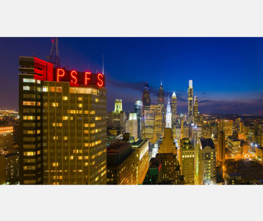
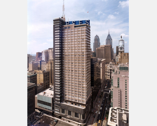
William Penn, the Philadelphia’s Quaker founder, planned the city as a grid, making it remarkably easy to navigate. Numbered streets run north and south starting at the Delaware river, the city’s eastern boundary, with Broad Street replacing 14th Street. Streets running west to east are generally named after trees with a few exceptions such as Market Street between Filbert and Chestnut streets.
The city’s earliest historic core, along the Delaware river, is today known as Old City where Independence Hall, the Liberty Bell, and the Society Hill neighborhood are located. The city gradually expanded westward toward the Schuylkill River, named for the Dutch word for hidden river. Today, Philadelphians refer to the central sections of the city between the rivers as Center City, the local term for downtown. Across the Schuylkill River, where the 30th Street rail station is located, is the section called West Philadelphia. West Philadelphia is a vibrant multicultural neighborhood with a burgeoning life science biotech industry. It also is home to Drexel University and the University of Pennsylvania, which is hosting the conference.
Venues
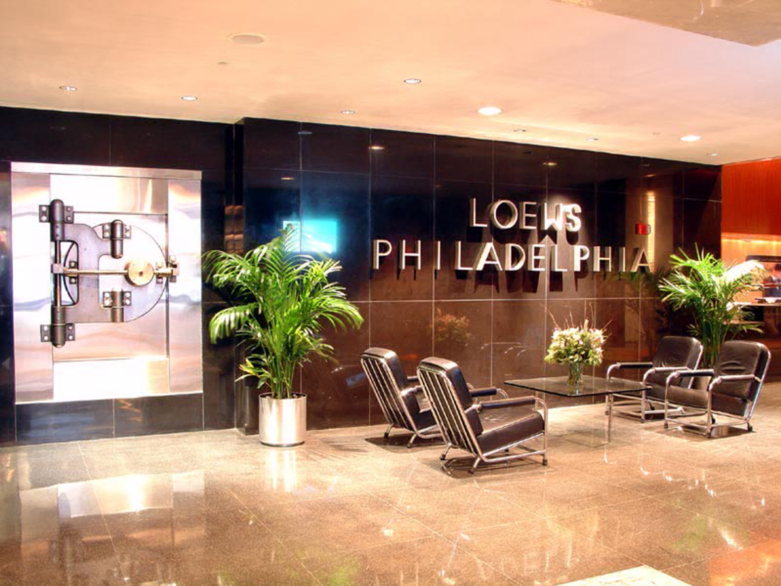
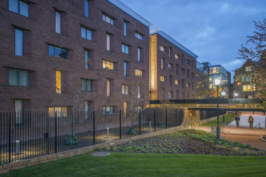
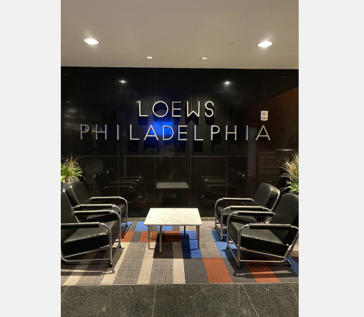
The first event of the Symposium is the Hassrick House panel, tour and demonstration, hosted by the Center for the Preservation of Modernism at Thomas Jefferson University. The Symposium opening keynote on Wednesday and Thursday sessions will be held at Meyerson Hall, home to the Weitzman School of Design, on Penn’s campus at 210 South 34th Street between Walnut and Spruce Streets. On Friday, the Symposium will held at Beth Sholom Synagogue in Elkins Park, PA. Buses will pick up from both Meyerson Hall and Loews to go to Beth Sholom. On Saturday, buses will also leave from the 34th Street side of Meyerson Hall.
Getting Around
Penn’s campus is easily accessible by the Philadelphia rail and subway system, called SEPTA (Southeastern Pennsylvania Transportation Authority). The SEPTA rail and subway lines and Amtrak line converge at the architecturally magnificent main 30th Street Train Station in West Philadelphia, a 15-20 minute walk from Meyerson Hall. From there, most areas of metropolitan Philadelphia and beyond can be reached.
Public Transit
The closest SEPTA station to Meyerson Hall (on the Market-Frankford line, designated as blue on all signage) is located at Market & 34th Streets. The Market-Frankford line runs trains every 5 minutes or less from 7:00 a.m.-9:00 a.m.; every 10 minutes from 6:00 p.m.-8:00 p.m. and every 12 minutes, 8:00 p.m. to midnight. Kiosks are located at the entrance to each subway stops and fares can be purchased with a credit/debit card using the machines. You will receive a “key card,” to access the trains. The fee is $2.50 per ride but a three-day pass can be purchased for $18 that would easily take you through the conference for 3 days.
The Fare Kiosks and the major SEPTA Sales Offices accept cash, credit cards, and debit cards. You can also use Apple Pay, Google Pay, & Samsung Pay to purchase/reload a SEPTA Key card at a Fare Kiosk or Sales Office.
Go to for a map and further transit information about public transportation serving metropolitan Philadelphia.
Philly on Foot
Year, after year, Philadelphia is rated as one of the best walking cities in the country. The city’s terrain is flat and the layout is simple to master and compact with five original public squares – Franklin, Washington, Rittenhouse, Logan and Centre (now City Hall) conveniently spread out, serving as perfect rest stops. The city is also boasts Fairmount Park, the largest urban park in the United States, with plenty of activities and walking/jogging trails.
Bike Sharing
Philadelphia is very bike friendly with a city-wide bike sharing that offers rentals starting at $4 per ride. Cyclists can walk up to any Indego station and check out a bike for trips around the city 24 hours a day. Using a touchscreen kiosk, bikes are released from their docks when payment is made with a credit card. You then return rentals to the nearest station after their ride is complete.
